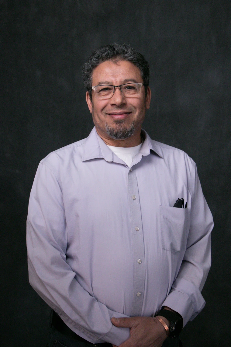
 |
Using global remote sensing from NASA satellites, and a variety of other platforms and sources, VIP Lab analyzes vegetation in a global context then extrapolates to the regional levels. This allows scientists, engineers, and experts to investigate the interconnectivity of vegetation, food availability, water scarcity, and climate change.

|